

Everything happens somewhere
Go for the best of both worlds. Location Intelligence combines long-proven value of GIS with opportunities of big data, machine learning and AI. Everything is happening somewhere. Location information offers a holistic view that enables you to manage and understand the challenges you face. Let’s integrate your business and contextual information.
You’ll get actionable insights to move towards fact-based decision-making. We’ll help you move forward in spatial analytics and visualization, geo-enabled Business Intelligence or geo-AI.
Monitor public assets
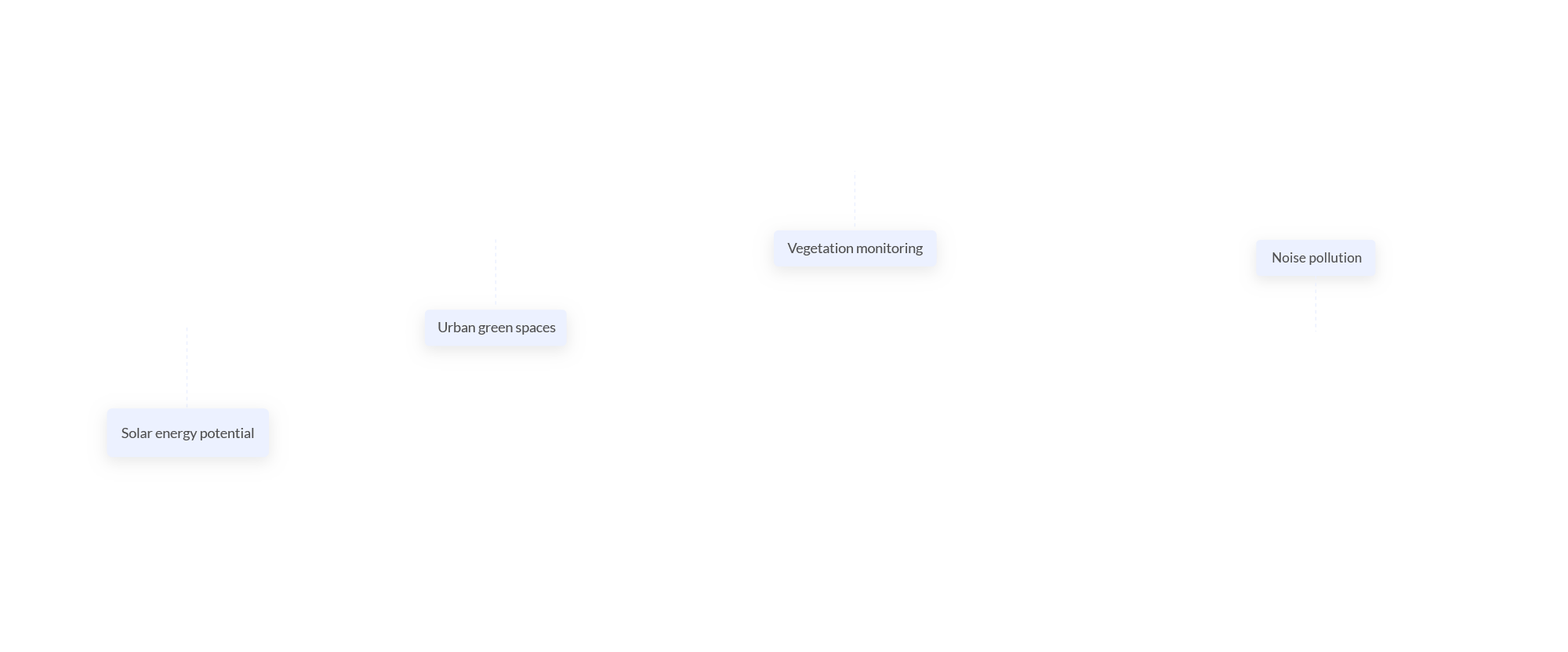
To prevent problems, you have to be eagle-eyed. Be prepared for the multitude of data sources available. Which living areas lack access to public green space? How does tree canopy cover evolve over time? Which roads are prioritized based on mapping road damages? And more questions are waiting for answers. Extract data and tackle them in a (semi-)automated way. Don’t miss the shift from a reactive mode to a proactive setting. Support your decisions and prioritize investments by using artificial intelligence. That’s smart!
Optimize Quality of Life
We only live once. So, it makes sense to optimize the quality of our living environment. Are public services and facilities easy to reach? How about accessibility of public transport? Do you know about exact mobility patterns? Is there any noise pollution? How about the air quality? These are some of the parameters that make or break quality of life. Are you incorporating these data into your urban planning or transport planning?
Data-driven policy
Can you tell if your mobility measures are effective? For sure? Reduce guessing. Start monitoring easily. Traffic density, preferred versus cut-through routes or travel time? Identify traffic flow bottlenecks or hotspots of speed violations. Start steering policy decisions using actionable insights.
Improved commuting
Assess the impact of commuting trips, considering travel time, costs and external costs. Spot opportunities to realize a modal shift. The best place for a new branch? We let the data speak for itself.
Bye bye breakdowns
Every second you are not operational as a utility company is a problem. Detect faster where malfunctions are located. Or better: prevent being malfunctional. Spatial context is key in your risk management. Use advanced geo-analytics to assess the impact of mitigating measures. This way you’ll be able to prioritize maintenance and structural investments.
Smart expansion & marketing
You want to know how profitable an extra branch in your network would be? Or where to focus your marketing to boost ROI? Get adequate predictions by learning from historic data and considering local context.
Location allocation
The success of a business is to a large extent defined by its local context. Understand the specific parameters driving your success. That’s key to maximize your target market coverage, develop a successful growth strategy or optimize your existing retail network.